
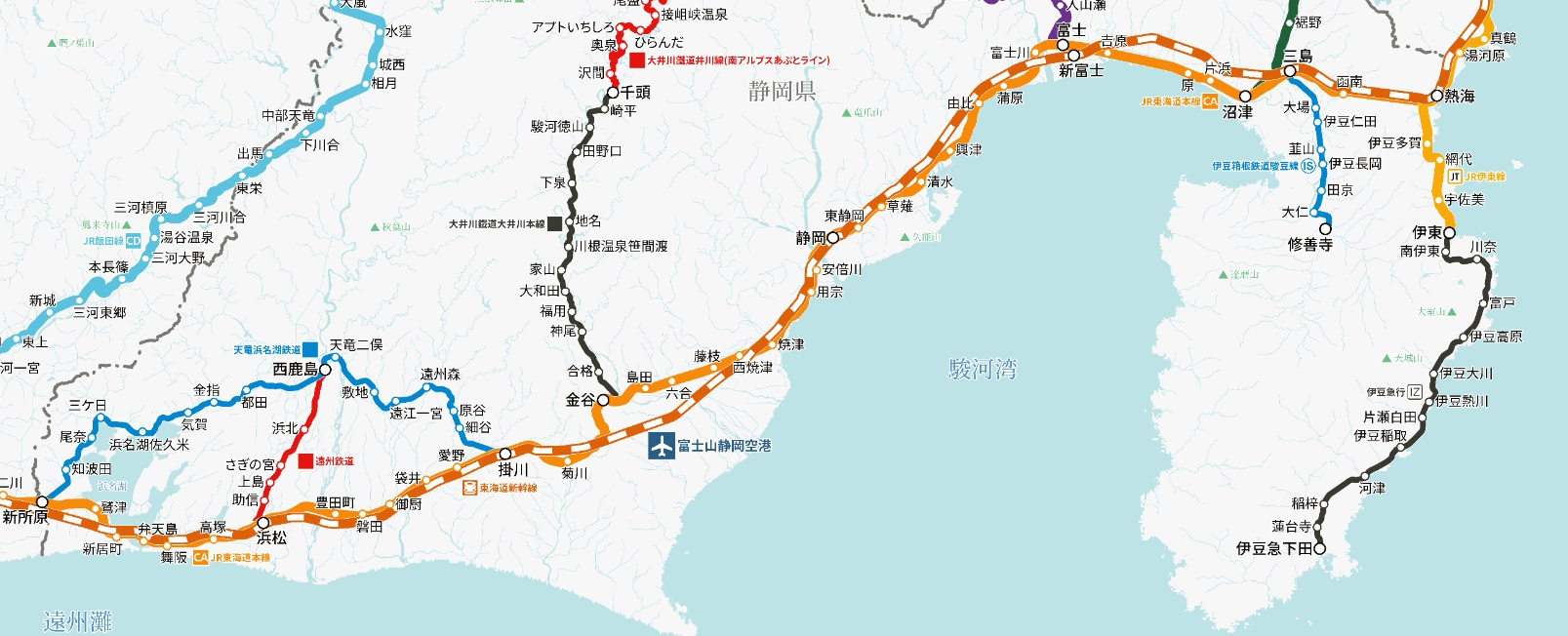
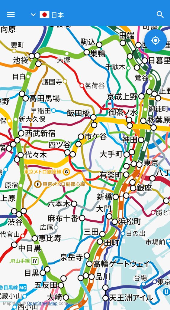
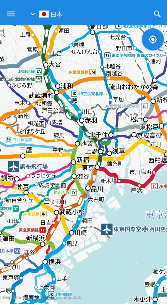
Our smartphone app “World Transit Maps” has begun offering a new Japan railway map called the “Tile Method (v2),” which eliminates the need to switch maps between areas or download them in advance.
Scroll 16 times faster!
Compared to the previous download method, usability has changed significantly, and we have received a lot of feedback from our loyal customers. In response to the feedback that “the map scale is large, making it inconvenient to scroll to different areas,” our development and design teams worked together to make improvements.
In the tile method, multiple tile image groups are prepared according to the zoom ratio so that the font size and line thickness always remain within a certain range even when zooming in and out. Initially, these image groups were limited to a 3-level display, but a new image group in the reduced direction has been added to support a 5-level display.
This makes it possible to read the names of major stations even when zoomed out to the minimum magnification, and scroll display speed is approximately 16 times faster, allowing for stress-free viewing even when scrolling long distances, such as from Tokyo to Osaka.
Open the latest version of “World Transit Maps” and a dialog box will appear saying “A new version of the route map is available.” If you tap “Update now,” you will immediately be able to use the Japan route map that supports a wider range of display.
↓
Install


Supported Versions
To use the above, update your app “World Transit Maps” to version 8.2.5 or higher (for both Android and iOS).
Countries and regions where maps are provided in the app “World Transit Maps”
Asia
- Japan (v2)
- South Korea
- Taiwan (v1)
- Hong Kong (v1)
- Macau (v1)
- Thailand
- Malaysia
- Singapore
Europe
- United Kingdom
- France
North America
- United States
*(v1) supports “tile method (v1)”, (v2) “tile method (v2)”, and no mark “download method”.